Global Positioning System (GPS) is a mapping system that is used for navigation purposes. The purpose can be either defence or civil. The GPS system project was first started by the US Department of Defense in 1973. The Defense Department got a breakthrough with the launch of the first prototype spacecraft in 1978. Several satellites were launched after it till 1993. The first signal via GPS was received almost 43 years ago and the technology has evolved significantly since then. Today we can navigate using GPS on our mobile phones and it has become more convenient with the advancement of the technologies. What was once a defense project is now open for all. However, defense agencies have more high-tech systems for better use of technology.
The navigation systems have been given different names by different countries but the purpose remains the same. The common use of GPS includes finding an address, tracking the traffic, vehicle movement or finding the distance between two places. But for defence purposes, the uses are much more sophisticated. The country that has its own GPS always has an edge over those who rely on other countries for the use of GPS for military purposes. In today’s age, a country must have a GPS if it intends to become a world power. In this article, I am going to tell you about 5 major countries that have their own GPS systems.
GLONASS – Russia
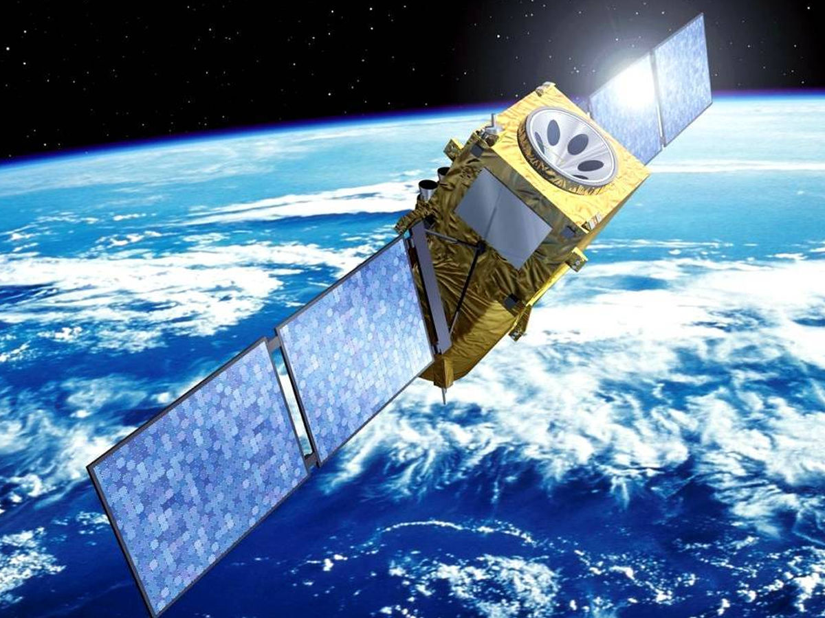
Russia always invests a lot in technologies that can make its military more advanced considering its rivalry with the US. This is why it launched GLONASS (Global Navigation Satellite) in 1995. It is a Russian space-based satellite navigation system that provides radio navigation satellite services. GLONASS is an alternative for the United State’s GPS and the reach of the system was expanded to the global level in 2011. The system is capable of providing a higher degree of accuracy at high latitudes, far up in the north or south. It is powered by a constellation of 24 advanced satellites that were reinstated in 2011. Leading mobile companies like Samsung and Sony Ericsson used positive features of GLONASS in their devices launched in 2011.
Bei-Dou China
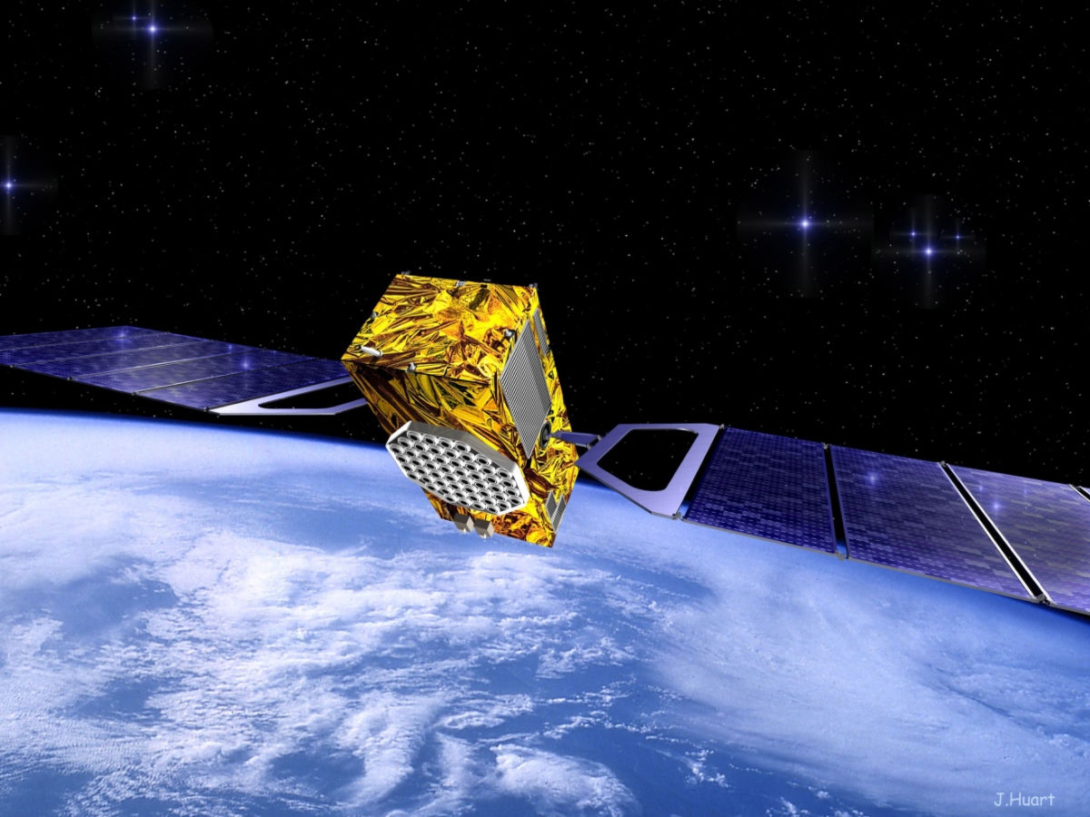
China aims to become one of the strongest militaries in the world and it is not possible until it is capable of dominating the skies and space. BeiDou Navigation Satellite System from China is a regional coverage system and China is the fourth country in the world to have its own fully operational navigation system. BeiDou Satellite Navigation Experimental System that operated through 3 satellites capable of providing restricted coverage, couldn’t sustain after 2012. After it, the second generation of the system BeiDou Navigation Satellite System or BeiDou-2, powered by 10 satellites, became operation in 2011 itself and supported China’s navigation system until the development of the third generation BeiDou system (BeiDou-3) started in 2015 with an aim to launch 20 satellites by 2020. This system is said to be more secure and reliable than a GPS system.
Also Read, Top 8 Countries With The Fastest Internet In The World
QZSS– Japan
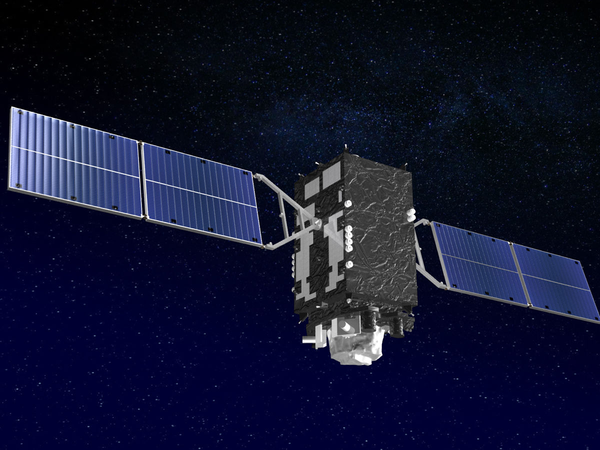
Japan is another leading power with its own navigation system. Japan’s QZSS or Quasi-Zenith Satellite System is a Japanese project aimed at developing a four-satellite time transfer system along with a satellite-based augmentation system. It entered the trial and development phase as early as 2010. The aim of developing QZSS was to offer highly stable and accurate positioning information to the Asia-Oceania region. It was handled by the Advanced Space Business Corporation (ASBC) until its dissolution in 2007. Later, JAXA got control of the project and it started working on the system along with Satellite Positioning Research and Application Center. The system helps the users detect the current location using satellite positioning services. It is a four-satellite constellation combined with GPS and is highly accurate in the mountainous regions in Japan. Japan plans to set-up a constellation of 7 satellites by 2023.
Galileo– European Union
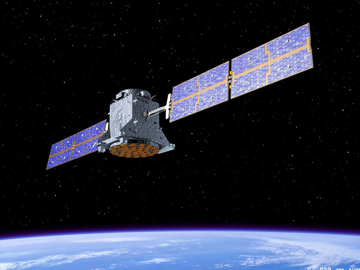
Unlike other space agencies, the European Space Agency oversees space projects of not a country but a continent. Named after Italian astronomer Galileo Galilei, Galileo is a Global Navigation Satellite System (GNSS) that was built by the European Union (EU), in collaboration with the European Space Agency. The system is powered by more than 30 Medium Earth Orbit satellites that have been operational since 2014. Almost all of the satellites are now fully functional, making the system one of the most accurate on the planet. The satellites of the system are capable of interoperating with both Russia’s GLONASS and USA’s GPS. The essential navigation services offered by Galileo come free of cost for European citizens. It is capable of offering vertical and horizontal position measurements with 1-meter public accuracy. The project started off in 2016 and its main motive was to provide efficient civil navigation services.
NAVIC– India
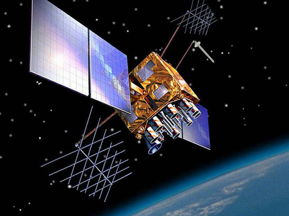
India has high military as well as civil aviation and its zeal to dominate the skies and space without depending on any other country motivated the Indian Space Research Organization (ISRO) to work towards an indigenous GPS and navigation system called NAVIC in 2016. The system empowered India to manage all its military navigation operations without depending on another country and also improved the reconnaissance capabilities of the military. The system is a regional navigation system with an impressive reach and it has a strength of 7 satellites that work in tandem. It is useful in managing fleets, tracking vehicles and surveying critical areas.


